
Horseshoe Bend
We piled in the car Saturday morning and I drove 150 miles north. Our first stop was Horseshoe Bend. It is a place where the Colorado River rounds a bend to make a 270 degree change in direction. It was a 3/4 mile walk from the parking area to the viewing area.

The scenery was scenic; check out the clouds in these pictures. Below we have another picture of Peter on one of his many rocks.

As the signs pointed out, there were no railings and it was a 1,000 foot drop from the edge to the river below.

This shows the top of the canyon the Colorado carved. I am sitting on a rock.

In case you did not get a good look at the earlier shot, here is another picture of Horseshoe Bend. I kept thinking how this was the same river I crossed when I went to the Grand Canyon last summer.

More pictures are available at Eric's Horseshoes Around The Bend album. Next we drove over a bridge and saw the Glen Canyon Dam. This is a view of the bridge from the visitors' center.

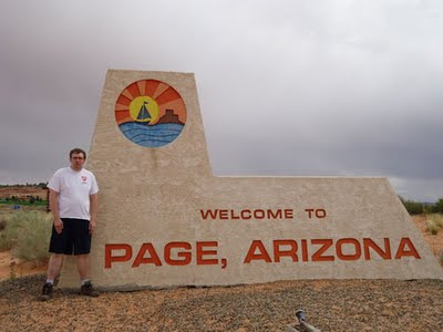
Both the Horseshoe Bend and Glen Canyon were right next to the city of Page, Arizona.
Eric's Dam You Glen Canyon album covers the Glen Canyon Visitors' Center and the drive back.
Driving Summary
The entire Arizona trip was 1480.2 miles. My car got 28.73 miles per gallon. That is good considering my car is ten years old and had almost 100,000 miles on it. Most of the trip had people sleeping in the back seat while I did all the driving.

To get to Chandler I took the 55 North to the 91 East to the 60 East to the 10 East. On the 10 I had some fun driving. There was construction and I was making turns following cones; it felt like a video game. After 309 miles on the 10, I took Arizona 202 East to Larry's house in Chandler. Then to get to Flagstaff, I took Arizona 101 North, to the 17 North which became US 89.
To get to Page, Arizona, I went north on US 89 from its starting point in Flagstaff. I did a lot of driving on the 89 on my last trip to Utah, so it was exciting to be driving on the 89 again. There were great views of desert landscape and passing other vehicles was fun.
Going back to Chandler, I took the 89 South to the 40 West to the 17 South which became the 60 East before I took Arizona 101 South. I drove 270 of the 290 miles of the 17 freeway. Part of the 60 I drove on is called Superstition Freeway. I think it takes its name from the Superstition Mountains which it passes through to the east.
Come back tomorrow for the third and final post on my trip to Arizona. When the events I will describe were happening Larry said "I can't wait to read Chris's blog post about this."
Did you notice the new background picture on my blog? It was taken by Eric on the 89 South on the drive from Page to Chandler.
Oh my gosh! I just noticed your new background! It's beautiful!
ReplyDelete